Tanzania launches landmark mapping project to end land disputes—Here's what it means
Tanzania has initiated a nationwide mapping project aimed at addressing long-standing land disputes and improving border management.
The initiative is expected to enhance land planning, ensure accurate land data, and prevent conflicts affecting both urban and rural areas, as well as shared border regions.
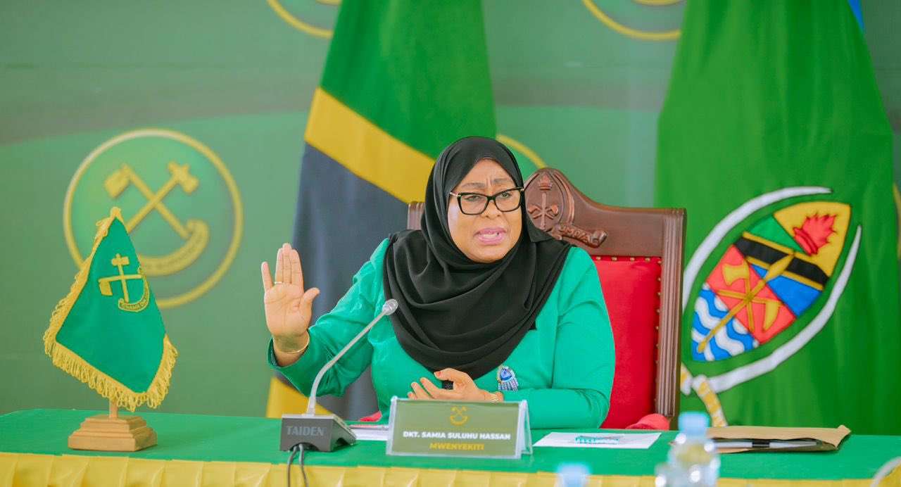
President Samia Suluhu Hassan announced the project on Monday, March 17, in the nation's capital, Dodoma, stating that South Korea has provided $65 million to improve surveying and mapping infrastructure as part of the initiative’s preparations.
“This updated map is vital for digital planning, sectoral projects, and resolving land use disputes. It will enable multiple sectors to collaborate on land utilisation and development,” President Hassan said.
“The Ministry of Lands, once focused on dispute resolution, has now become a central pillar for the country’s development,” she added.
The initiative is part of the National Spatial Data Infrastructure (NSDI) project, which plays a key role in the mapping process. The government has secured $114 million to support the Ministry of Lands, including $49 million from the World Bank for a project aimed at enhancing land ownership security, as reported by The Citizen.
Tanzania has faced a longstanding border dispute with Malawi over Lake Malawi/Nyasa, Africa’s third-largest lake. Malawi claims sovereignty over the entire lake based on the 1890 Anglo-German Treaty, while Tanzania argues for a median line boundary. The country has also experienced internal land conflicts related to agricultural investments.